
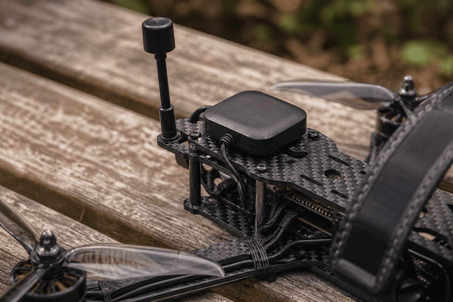
GPS module install for return-to-home curious pilots

GPS rescue can save a lost quad, it can also fly you into a tree if you treat it like a taxi button. Installing GPS on a freestyle quad is a wiring and expectations problem as much as a firmware checkbox. This guide covers hardware placement, Betaflight outline, and when iNav is the better long-term path.
Hardware
- GPS module on a mast away from vtx and ESC noise when possible
- UART to FC, confirm port in target documentation
- Low-profile antenna orientation matters; metal carbon blocks sky view
Module selection
Betaflight GPS rescue works with common UART GPS modules (M8N class and successors). Match voltage, 5 V vs 3.3 V, to your FC wiring diagram. Wrong voltage kills modules quietly.
Physical placement
| Placement | Pros | Cons |
|---|---|---|
| GPS mast on top | Clear sky view | Snag on branches, crash fragile |
| Rear mast | Away from vtx forward radiation | Still needs sky visibility |
| Side mount | Low profile | Carbon arm shadowing |
Keep GPS away from vtx, ESC, and long coax runs when possible. Not always achievable on tight 5-inch builds, accept slower fix times instead of pretending placement is perfect.
Wiring to FC
- Identify a free UART: GPS cannot share with CRSF on the same port without target-specific exceptions
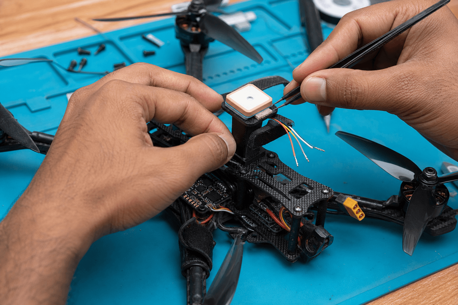
- Solder signal, ground, power per FC manual, short leads, strain relief
- Enable UART in Betaflight Ports tab at 57600 or baud your module docs specify
- Do not power GPS from a noisy BEC if the manual warns against it
See receiver UART vs SPI for port planning, UART budget fills fast on small FCs.
Betaflight outline (not a full tutorial)
- Enable GPS in ports and configuration
- Wait for 3D fix on bench outdoors before trusting rescue
- Configure GPS rescue angles, altitude, and sanity limits
- Test failsafe path on open ground, see failsafe scenarios
Configuration discipline
GPS bring-up order:
1. Outdoor bench, open sky, props off
2. Configurator, GPS tab shows sats climbing
3. 3D fix confirmed, home set logic understood
4. GPS rescue menu, set climb angle, min sats, initial altitude
5. Failsafe stage, assign switch or link loss path
6. Test on open field, LOS, low wind, altitude headroom
Settings that bite
- Rescue climb angle too aggressive, stalls or flies into obstacles on low battery
- Minimum satellites too low, rescue starts on bad fix
- Initial climb altitude below trees, rescue fails obviously
- Arming without fix allowed, pilot error enabler
Set sane limits. Test with charged pack and open field first.
Realistic expectations
- First fix can take minutes cold; pack patience
- Urban multipath lies, India dense housing worsens lock
- Rescue needs altitude headroom and open climb path
What GPS rescue is not
- Not precision landing on your mat
- Not reliable under heavy canopy
- Not a substitute for link maintenance, see ELRS setup
- Not legal autopilot where rules forbid beyond-visual-line-of-sight operations, DGCA awareness
Urban India reality
Tall buildings reflect GPS signals. Your position jumps on the map. Rescue may climb into unknown airspace relative to obstacles the GPS does not see. Treat rescue as better than nothing for open-field link loss, not terrace flying insurance.
Betaflight vs iNav
For wings and cruisers, iNav is often the better long-term path than BF GPS rescue on a freestyle rig.
| Use case | Betaflight GPS rescue | iNav |
|---|---|---|
| Freestyle backup | Acceptable with testing | Overkill |
| Long-range wing | Limited | Strong fit |
| Return to home landing | Basic | More mature |
| Waypoints / missions | No | Yes |
If GPS is central to how you fly, not a panic button, plan an iNav build on appropriate hardware instead of bolting GPS onto a pure freestyle tune.
Install mistakes
| Mistake | Result |
|---|---|
| GPS under carbon plate | No fix, ever |
| Shared UART misconfigured | GPS dead in tab |
| Antenna facing ground | Slow or false fix |
| Rescue tested first over trees | Facebook crash video |
Compass and interference
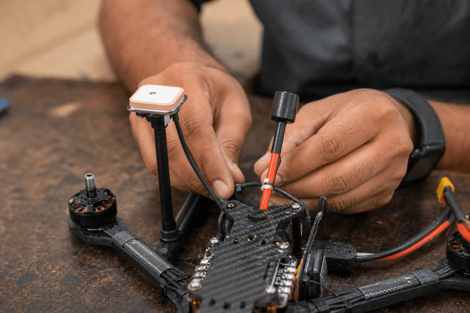
Some GPS modules include magnetometers; others do not. Betaflight GPS rescue paths differ from iNav waypoint logic on compass use. Metal bolts, vtx, and power wires near a compass cause yaw weirdness on iNav builds. If you only want BF rescue, follow BF-specific wiring docs, do not assume iNav tutorials apply.
Bench vs field testing
Get 3D fix on bench outdoors before first flight, GPS at desk near window lies. Log sat count and HDOP in configurator; learn what "good" looks like at your flying spot vs your balcony.
Maintenance
GPS modules survive crashes better on masts that shear than on rigid short mounts that transfer shock to the board. Carry spare mast hardware. After hard hit, verify fix times before trusting rescue again.
When to stop and rethink
If you cannot get reliable 3D fix at your regular flying spot outdoors, GPS rescue will not save you there. Fix placement or accept that rescue is for open-field days only. Do not arm in denial.
Pre-flight GPS checklist
□ 3D fix on ground before arm (min sats per your config)
□ Home position understood, where will it try to return?
□ Rescue switch / failsafe path tested this month on grass
□ Altitude headroom at spot, trees, wires, buildings
□ Battery not sagging, rescue climbs on weak packs fail ugly
□ Link healthy, GPS does not fix radio loss| Sat count (indicative) | Pilot action |
|---|---|
| 0–5 | Do not arm for rescue-reliant flight |
| 6–8 | Urban marginal, hover test only |
| 9+ stable | Proceed if HDOP stable in tab |
| Fix lost mid-flight | Assume rescue degraded, fly LOS home |
First rescue test script (open field only)
- Arm, hover 10 m, clear of people
- Trigger rescue via switch or simulated failsafe per manual
- Watch climb path, obstacles the GPS map does not show still exist
- Disarm when safe; log sat count and behavior in build notes
- Repeat after any GPS mast or FC change
One calm test beats discovering climb angle over a tree line during real link loss.
Bench
- Control / F7, FC targets with GPS UART
- the Bench, GPS modules and antennas
Discussion
Comments aren't open on this post yet. Share it with your build group, or start a thread on X.